Skip to content

Site Analysis Tool

Get a 360 degree view of your land, getting climate, topography and soil analysis, and learn more about how to regenerate your site.
https://storyset.com/business
In-Depth Site Analysis

Our software starts with a detailed analysis of your site, forming the foundation for tailored regenerative agriculture projects.

Using remote sensing and satellite images, we provide you with an in-depth analysis of the site you own or manage, combining topography data, soil data and climate data.

So you know what project could be envisioned for your site.

Book a demo
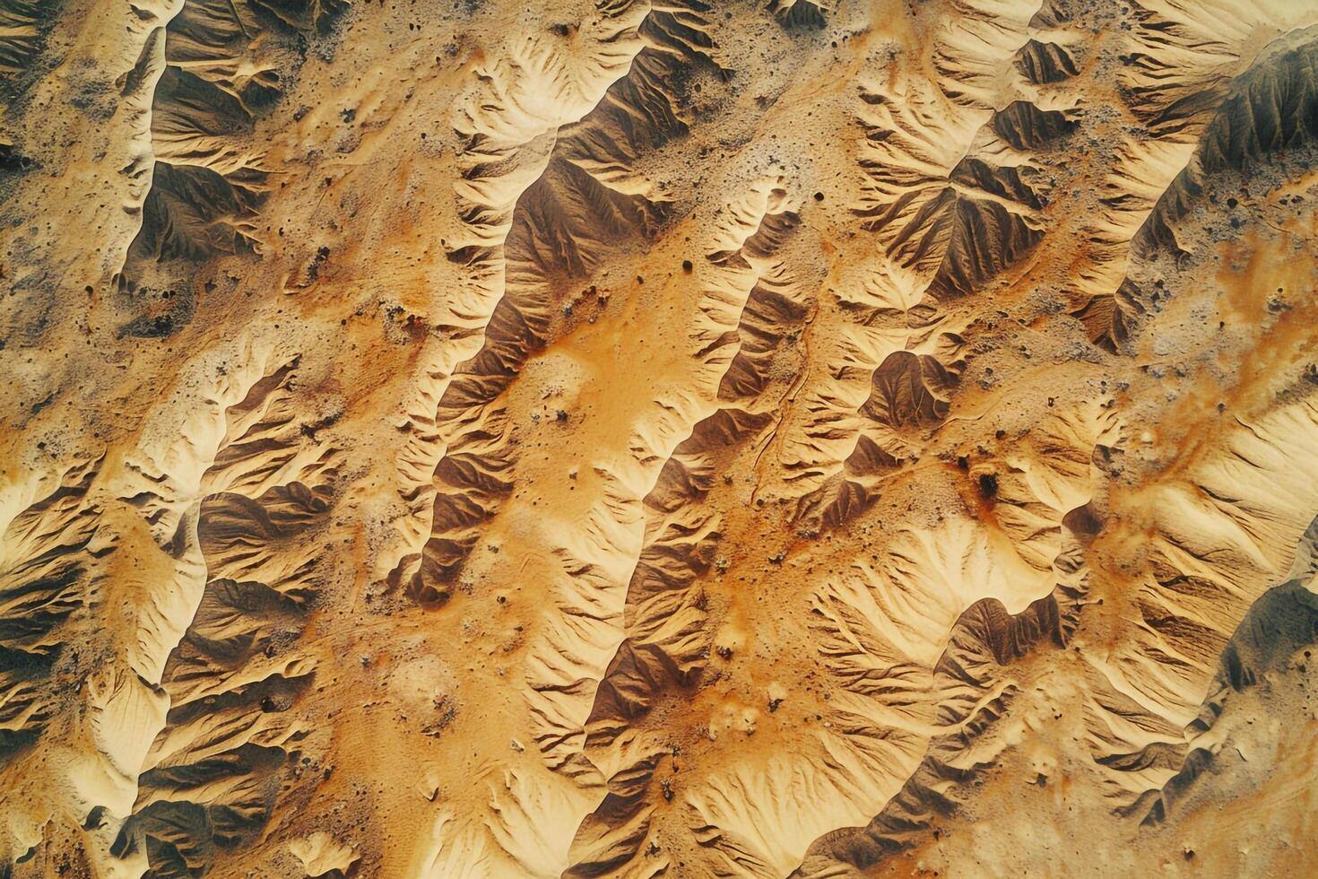
a-view-of-the-desert-from-an-airplane-background-free-photo

Topography Data

We analyze key indicators such as NDVI (vegetation health & productivity), NDMI (soil moisture & water stress), steepness (for optimal land use & erosion control) and elevation (for sustainable land management). 

With these insights, we help you understand the physics of your land and provide a science-backed foundation for your land's transformation.

Sand_To_Green_Site_Analysis_Soil_Data

Soil Data

Gain valuable insights into your soil's health through comprehensive data analysis. We assess carbon storage to gauge organic matter levels and evaluate Cation Exchange Capacity (CEC) to understand nutrient retention and availability.

Additionally, we analyze key soil components, including pH and salinity, to provide a complete picture of soil quality.

Sand_To_Green_Site_Analysis_Climate_Data

Climate Data

Understanding your land’s climate is key to sustainable success.

By analyzing temperature trends and precipitation patterns, we offer a detailed picture of the environmental conditions and water dynamics shaping your area.

These insights help you make informed decisions, adapt to climate variability, and build resilience for the future.

Trusted by leading partners