What to Expect from a Demo
In this demo, we will show you what satellites can tell us about your fields. You will be guided through a portfolio. Areas that require urgent intervention are spotted. Whether you need to task the satellite in a continuous monitoring (dMRV) or to look back in the past (archives), RegenWise covers both.
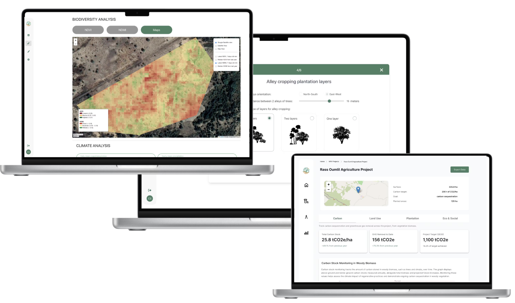
Baseline Assessment
Establish a reliable baseline for each site using satellite data, environmental indicators and field observations.
EUDR Assessment
Assess plots against EUDR requirements and generate traceable evidence to support due diligence and compliance.
Deforestation Alerts
Identify potential forest-cover changes and prioritize the areas requiring verification or field visits.
Crop Health Alerts
Detect vegetation stress and unusual changes early, enabling field teams to intervene where action is most needed.
Land-Use Change Emission Factors
Estimate emissions associated with direct land-use change to strengthen carbon accounting and supply-chain reporting.
Design and Forecasting
Compare restoration and agroforestry scenarios, select suitable species and forecast their environmental and productive outcomes.
Monitoring and MRV
Track vegetation, soil, water, biodiversity and carbon indicators through integrated satellite and field data.
Expert Support
Turn RegenWise insights into practical actions with support from our agronomy, soil science and restoration specialists.