Fast, Data-Driven
Run 360° land assessments with data-driven outputs. Design smart farming, forecasting your impact. Monitor projects in our MRV, securing a robust data-driven monitoring over time.
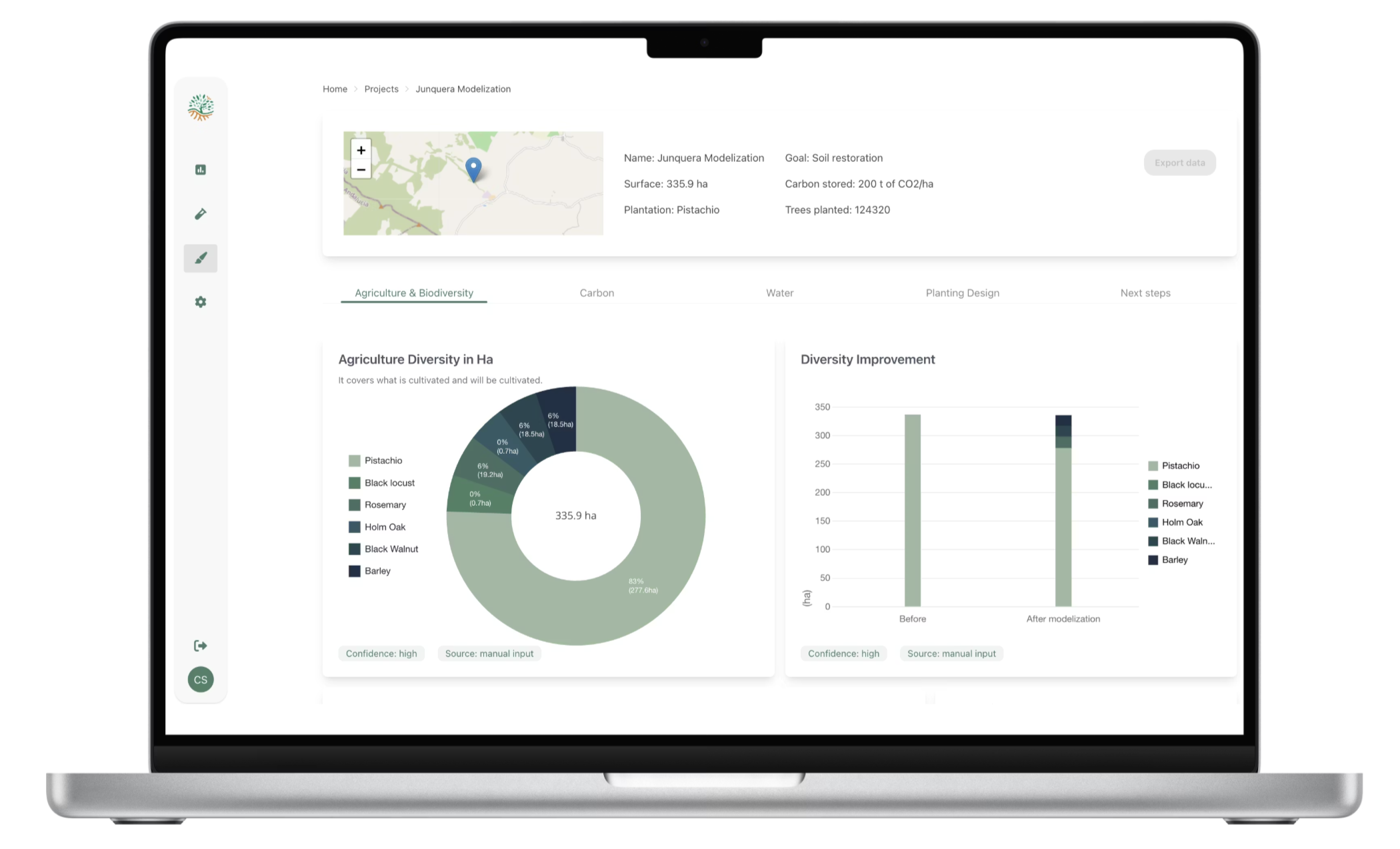
Harness satellite imagery, climate, soil and water data in one intuitive platform to design, monitor, and optimize land regeneration.
We have all the tools you need to run an effective agronomic & regeneration project.

Assess topography, soil, climate, and health of plants visualized as spatial layers, without having to do a field visit. Analyze regeneration potential and validate the risks and opportunities.
Quickly prototype agroforestry & crops scenario, tailored to your goals & to the site characteristics. Get carbon, water forecasting, and dynamic plot configuration.
Dynamic dashboards track real-world carbon sequestration, health of plantation, social and yield. Over time & with robust, reliable site data.
Effortlessly generate exportable project files and detailed impact reports for stakeholders and investors.

Run 360° land assessments with data-driven outputs. Design smart farming, forecasting your impact. Monitor projects in our MRV, securing a robust data-driven monitoring over time.

From analysis to design and monitoring, all steps can be integrated into one workflow (or kept separated), ensuring clarity, comparability, and traceability.

Validated in open-field and living labs across the most complicated lands in Africa, across saline environments. Backed with scientific lab results and a rigorous scientific approach, validated with peer reviews.
RegenWise is made for you if you're:


Ensure supply chain projects are well designed and successfully implemented.

Validate designs through pilots, reducing risks before scaling capital deployment.
Our approach is not just tech, it’s built on validated research and tested in real-world environments.